At more than 1,400-acres, the Campbell Valley Regional Park forms a large green swath in Langley Township less than a mile north of the International Border. It is easily accessible for a quick getaway from throughout the greater Vancouver metropolitan area as well as from Bellingham, WA. Administered by Metro Vancouver Regional Parks, don’t let the word “metro” throw you off. The Campbell Valley and its environs are quite rural.
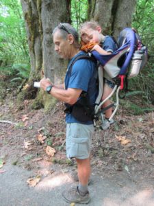
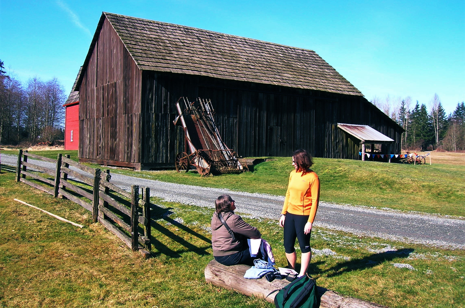
The sprawling park protects mature second growth forest, parcels from six historic farmsteads, wildlife-rich wetlands, an old race track, a one-room school house, and other historic barns and dwellings. Be sure to check out the park’s Nature House when open (From Victoria Day to Labour Day, weekends, holiday Mondays and Wednesdays). Children will especially enjoy the exhibits and discovery kits, crafts, and games. And with 18 miles (29 kilometers) of trails, the park offers plenty of hiking and trail running options.
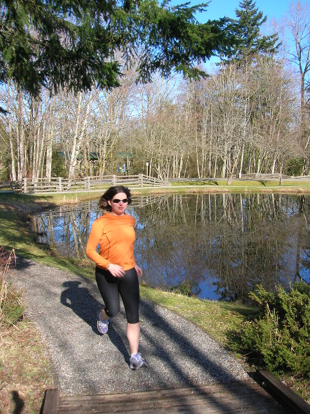
Ultra-runners can probably cover the entire park in a day, but most folks won’t, so there’ll be plenty of new routes to explore on future visits. Some trails and routes to consider on your first visit include the following. The Little River Loop is a 1.4-mile (2.2 kilometers) wheelchair accessible virtually level trail mostly on boardwalks. It is accessible from the North Lot or by hiking a short distance from the South Lot via the South Valley Trail. An excellent trail for birdwatching, this loop allows up close and personal viewing of the Little Campbell River which flows directly through the heart of the park.
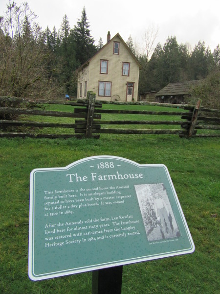
The 6.8-mile (11 kilometer) Shaggy Mane Trail travels a good portion of the park’s periphery traversing forests, meadows, and alongside the Little Campbell River. It also passes by small wetlands, connects to many of the park’s trails, and ambles by the Lochiel Schoolhouse. Built in 1924 and in use until 1975, this one-room schoolhouse was relocated to the park in the 1980s near the Annand/Rowlatt Farmstead. Be sure to check the farmstead out, too—a mere jaunt from the schoolhouse. The farmhouse, which was built in 1888, is one of the oldest structures still standing in Langley Township.
Another interesting historic site located within this park is the Langley Speedway. Built in 1963 and operated until 1984, this ¼ mile paved oval track was used for stock car racing and hosted NASCAR events. You can hike to the speedway via the Deer Trail from the Little River Trail. Hike through forest along the Little Campbell River emerging to the now quiet dormant race track. It’s hard to imagine the noise, commotion, and excitement that once emanated from this site. Hard to imagine too that most of the surrounding forest was logged off during the early 1900s. Hike up the Ravine Trail which follows an old railroad logging grade to get a taste of this past chapter of the park.
While the Campbell Valley Regional Park now protects a pastoral landscape in the heavily developing Lower Mainland, its past was anything but quiet.
For detailed information on more nearby hikes just over the border, pick up a copy of my new book Urban Trails Bellingham (Mountaineers Books).
 Award-winning author and hiking expert Craig Romano knows the best places to get out and explore. As a guidebook author of 20 books including many in the immensely popular Day Hiking series from Mountaineers Books, he’s the regional authority on hikes for all four seasons, from the Columbia River Gorge to the North Cascades to the Selkirks.
Be sure to check out his author website, and purchase his hiking guides here.
Photo credits: all photos of Campbell Valley copyright Craig Romano.

Location: Campbell Valley Regional Park
Langley, British Columbia
Distance: 18 miles (29 kilometers) of trails
Elevation gain: up to 300 feet (91 meters)
Difficulty: easy
Trail notes: Some trails shared with horses and bikes; kid-friendly; dog-friendly (on leash); car break-ins are frequent—leave no valuables in vehicle
Trail highlights: Extensive boardwalk and wetlands; wildlife rich meadows; historic farm and structures
Contact: Metro Vancouver Regional Parks
Getting to the trail
From Vancouver: Follow BC 99 south to Exit 2A. Then travel east on 8th Ave for 4.6 miles (7.4 kilometers) to South Valley Entrance. (Alternative parking at North Valley Entrance off of 16th Ave).
From Bellingham: Follow I-5 north to Exit 275. Then follow SR 543 (which becomes BC 15 north of the International border) for 2.0 miles (3.2 kilometers). Turn right onto 8th Ave and proceed east for 3.6 miles (5.8 kilometers) to South Valley Entrance. (Alternative parking at North Valley Entrance off of 16th Ave).

If you found this post helpful and informative, please consider visiting our donate page and making a contribution. We rely on the generous support of our readers to keep publishing quality writing from across Cascadia and paying our writers a fair rate for their work.

